Satlas

About Satlas
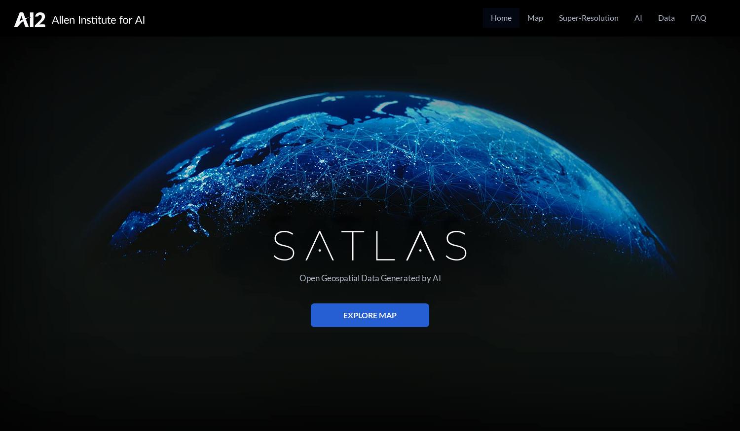
Satlas is a cutting-edge platform that utilizes AI to analyze satellite imagery, offering insights into global changes such as deforestation, infrastructure developments, and renewable energy projects. Ideal for researchers and environmentalists, it provides high-resolution images and accessible geospatial data for a clearer understanding of our planet's dynamic landscape.
Satlas offers a free access model for its geospatial data and AI-powered imagery capabilities. For users seeking advanced features, premium subscription plans provide enhanced data layers and priority access to new functionalities. Users benefit from improved research capabilities and the latest satellite insights with higher subscription tiers.
Satlas features a user-friendly interface designed for seamless navigation and effective data exploration. Its layout prioritizes ease of access, enabling users to quickly find specific satellite imagery and insights. Unique filtering options enhance the user experience by presenting tailored data relevant to individual research needs.
How Satlas works
Users start their journey on Satlas by creating an account and accessing a wealth of AI-annotated satellite imagery. The platform’s intuitive interface allows users to search for specific geographical areas or topics, such as deforestation or renewable energy infrastructure. Interactive maps and data tools help visualize changes, while downloadable datasets support further offline analysis.
Key Features for Satlas
AI-Enhanced Satellite Imagery
Satlas utilizes advanced AI models to enhance low-resolution satellite images into high-resolution visuals. This feature provides users with detailed insights and clearer visual representations of environmental changes, all crafted to facilitate thorough research and analysis, making Satlas an invaluable tool for scientists, researchers, and policymakers.
Geospatial Data Access
Satlas offers freely available, AI-generated geospatial datasets that users can download for offline analysis. This unique resource empowers researchers and environmental analysts, enabling them to conduct detailed studies on terrestrial changes, renewable energy expansions, and other significant environmental phenomena without barriers.
Super-Resolution Technology
The super-resolution capabilities of Satlas allow users to explore satellite imagery at an unprecedented level of detail. By employing advanced AI techniques, Satlas can transform low-resolution images into high-quality visuals, providing critical insights into environmental changes and aiding users in making informed decisions.


